How To Do A Section Hike
- Jerry Caldwell

- Oct 28, 2020
- 4 min read
Updated: Dec 27, 2020
There is a private Facebook group called Appalachian Trail Section Hikers. Membership recently surpassed forty thousand. It is a great resource for information, but also provides insight to the popularity of hiking on the Appalachian Trail.
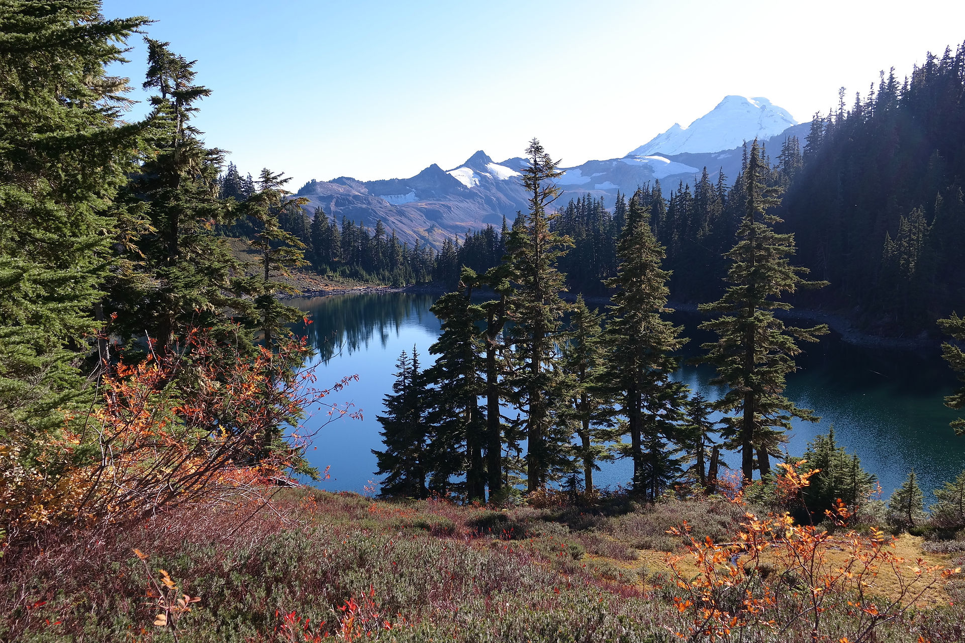
The Appalachian Trail, affectionately termed “the AT” by its frequent visitors, is perhaps the most popular hiking trail in the world. Certainly it is the most well maintained. A total of 2,193 miles. From Springer Mountain in Georgia, to the northern terminus, Mount Katahdin in Maine.
All of it, the entire length, is maintained by volunteers.

Out on The Trail
There seems to be a label for all kinds of hikers out on the AT. Day hikers. Section hikers. Thru hikers. NoBo hikers. SoBo hikers. Solo hikers. Flip-flop hikers.
A Flip-flop hiker is not someone hiking in sandals. Please don’t do that.
I am currently an AT section hiker. I’ve hiked nearly 200 miles this year and can’t seem to get enough. Check out my exact progress here, if you are curious. I enjoy backpacking in the wilderness on any trail, but there is something different about being on the AT.
Enjoying It All
Planning for a section hike is fun. It allows me to picture my upcoming hike, and provides an outlet for the excitement I feel as the date of departure approaches.

I have a few tools I use to plan a hike. Though my favorite is the app Guthook, it is not my primary planning tool. For the initial planning I use a good old paper map. The pocket profile maps are great. Simply, where I am starting and where I am finishing.
The length of my hike depends upon how long I intend to be out there. I usually know this before I even pick up the map.
My starting and ending points are chosen by the ease of access via roads, paved or gravel, and availability of parking at these access points.
Once I know where I’m starting and where I’m finishing, I have a few more things to determine.
If I plan to leave my car at the end, then I need to hire a shuttle driver. Here is a good resource for an AT Section Hike, keep scrolling down to find shuttle drivers: https://appalachiantrail.org/explore/plan-and-prepare/transportation-options
If I am going with a friend, are the ending and starting points a quick enough drive to preposition our vehicles? Or do we still prefer a shuttle driver, allowing us to leave both of our cars at the end?
Where do I plan to camp along the route? In the summer, one of my primary considerations is altitude. I prefer to camp above 4,000 feet. In the fall and winter, it is purely a function of distance.
I like to think about the last day, usually Sunday. It is nice to finish before lunch, allowing time for a burger and beer with friends before heading back home and work the next day.
Where are my water sources? Are they reliable, or seasonal? This is where Guthook becomes important. The water sources usually have user input, denoting how well they’ve been flowing.

Sometimes one of my challenges is where to sleep on the first night. If I am arriving in the evening to get an early start the next day, I potentially need a campsite. At the parking areas for trail access this is not always possible.
Here are some of the things I’ve done when needing to start very early on the first day of hiking.
We met a shuttle driver at the end and he drove us to the beginning where a campsite existed a few feet from the parking area. Deep Gap, NC.
We stayed at a hostel, located at the end of our hike, and was provided a ride by the owner of the hostel, early the next morning. Uncle Johnny’s Hostel in Chestoa, TN.
I arrived at the end point very early to meet the shuttle driver, leaving my house by 4 AM on day one. Definitely not preferred.
We camped in the front yard of our shuttle driver's home for an early ride the next morning to the trailhead. This was offered. I would not have ever requested this. It is an example of the amazing people we meet on the trail, and those who support us.

There Is More To It
This overview of how I plan my section hikes assumes a few things. Namely that you are well versed on all the other stuff.
How much food to bring.
Gear and clothing appropriate to the expected weather to be encountered.
In other words, this article assumes you are already an experienced backpacker.
If you are not an experienced hiker, then I encourage you to read through the Mountain Blazer website, as well as many of my previous articles.
You can also contact me via email by filling out a form at the bottom of this link. I’m happy to answer your questions.
And then, by all means, join the Mountain Blazers on a trip. You can do that via the website as well.
Happy hiking!
About The Author
My name is Jerry. Trail name is Monsoon. In addition to running a hiking club, I also own and operate a coffee shop & bookstore. Check it out here.


Comments