North Carolina - 29.2 Mile AT Section Hike
- Jerry Caldwell

- Oct 13, 2020
- 3 min read
Updated: Mar 15, 2021
Appalachian Trail Section Hike - 29.2 miles
North Carolina: Wesser (Nantahala River) to Fontana Dam Shelter
9 October to 11 October, 2020
NoBo. Three hikers. Me, Teryl, and Ashley

The remnants of Hurricane Delta, which came ashore on the coast of Louisiana, moved northeast and affected Georgia, Tennessee, and North Carolina. This resulted in the wettest hike I’ve ever been on. The positive attitudes from all three of us made this a fun hike.
We are experienced backpackers, having previously hiked and camped in the rain. We were aware of the forecast and decided to continue with this trip. Despite the heavy rains, we were pleased with our decision.
We scheduled a shuttle driver to meet us at Fontana Dam and drive us to Wesser.

Day one out of Wesser presented us with a 3,000 foot climb in 6 miles, with our targeted campsite near the 7-mile mark. Though this climb is intimidating on the maps, the majority of the ascent included switchbacks, easing the difficulty. We tent camped at Sassafras Gap Shelter, which has a nice water source right in front of the shelter. This was our only dry day of hiking.


The weather changed early Saturday morning, forcing us to strike camp in a steady rain, which continued until around 11 AM. Though our views were obscured by fog and clouds, the rain held off for the remainder of Saturday, providing for a pleasant hike on a scenic trail. We encountered a few challenging climbs, but overall the trail descended into our campsite, Cable Gap Shelter.


After hiking 15.4 miles we arrived fatigued and ready to eat. The rains held off until just after 7 PM, allowing us to enjoy dinner.

The storm reached its highest intensity overnight into early Sunday morning. Though the winds remained relatively calm, the rain was as heavy and constant as I can ever recall. The temperature increased steadily from the low 50s to the low 60s overnight, which added to condensation inside my tent. Additionally, water runoff began accumulating between my ground cover and my tent floor. Despite all of this I slept dry.

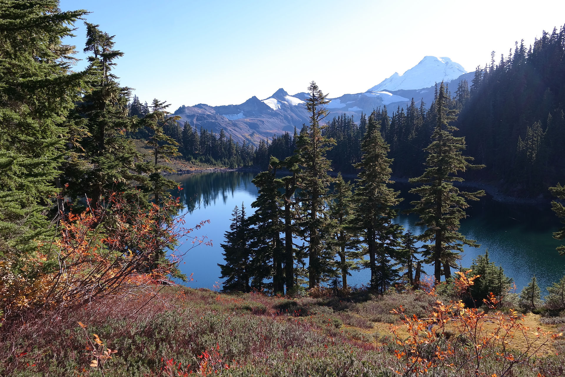
Sunday began with a climb covering 2 miles, and the remaining 4.6 miles was almost entirely downhill into the Fontana Dam Shelter, our ending point. We did encounter some rocky areas on this last day, but nothing extraordinary for the AT. The last mile approaching the shelter was right along Fontana Lake. Very scenic.

A Learning Point
Where I decided to pitch my tent Saturday night could be classified as a rookie mistake. I chose a level site with gently rising terrain just beyond. Though the rise beyond my tent site provided only about 50 feet of available runoff, it was bare ground from overuse. With the heavy rains this was all the distance required for mud-filled water to rush beneath my tent.
Fortunately I have a good tent (MSR Hubba NX Solo). My only consequence was having to pack up a muddy tent. I could have chosen a site at the crest and avoided the muddy outcome.
This is not the first time I’ve made this mistake. Hopefully it will be the last.
What We Did Well
Each of us discussed the forecast in detail, and prepared for conditions to be worse. Specifically for colder temperatures than anticipated. Being wet is one thing. Being wet and cold is a challenge which can turn serious. It never turned cold, but we were prepared.
We also discussed safety. Hiking in heavy rain can be treacherous on the trail. We consistently reminded one another to be cautious with the slippery conditions.
When camping in stormy conditions it is important to check the integrity of the trees where you pitch a tent. Saturday evening I was especially concerned about trees or branches falling on my tent, otherwise known as widow-makers. I checked as best I could, but one can never be certain.

In summary, this was not an overly tough hike considering it covered nearly 29 miles in a 48-hour period. I had considered this hike southbound (SOBO). I am not certain SOBO would have made this hike easier. The starting and ending points are at the same altitude. No matter which direction you go, you will be doing a lot of climbing. NOBO allowed us to get most of the climbing out of the way early.
We had fun on this hike. We met up with a number of hikers along the way, and at both shelters. The shared experience of dealing with the elements provided camaraderie and much laughter. I look forward to future hikes with Teryl and Ashley.
Note. My trail name, recently awarded, is Monsoon. This section added to the validity of my trail name.
About The Author
My name is Jerry. In addition to running a hiking club, I also own and operate a coffee shop & bookstore. Check it out here.


Comments